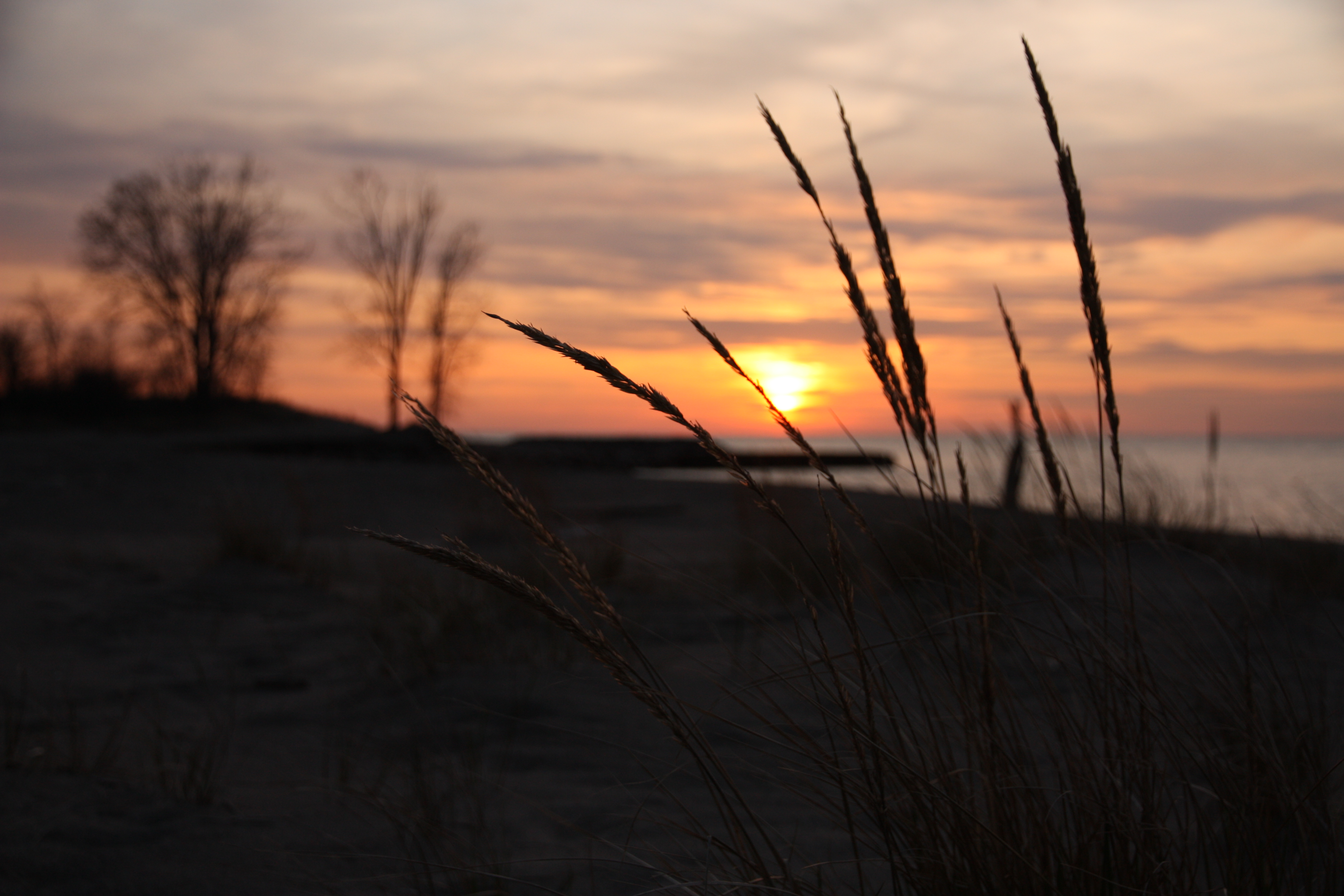

Desert Sunrise in Big Bend National Park, Texas
Sing to God, sing praises to his name; lift up a song to him who rides through the deserts; his name is the Lord; exult before him! ~Psalm 68:4 (ESV)
With only 316,953 visitors in 2013, Big Bend National Park ranked 42nd out of the 59 named “National Parks” at the time. When compared to parks like Yosemite and Yellowstone which both get over 3 million visitors a year, or Grand Canyon with over 4 million, you may begin to understand some of its appeal. (Source: complete visitor statistics for the national parks can be found at https://irma.nps.gov/STATS)
The lack of visitors is certainly no reflection on the beauty of this desert gem. In its harsh and rugged way, Big Bend is no less spectacular than any of the other national parks we have visited; and, I am quite certain the primary reason there are so few visitors is the park’s remote location. This is not a place you just “stop by” on your way through, unless of course your final destination is The-Middle-of-Nowhere.
Traveling to Big Bend National Park
Even if you are taking a cross country drive on I-10 (the nearest interstate highway) and head south on US-385 at Fort Stockton, Texas, it is 100 miles to the park’s northern entrance and another 26 miles beyond that to park headquarters at Panther Junction. Driving times (distances) to the north entrance of Big Bend National Park from some of the major south Texas airports are as follow:
Midland International Airport: 3 hours (195 miles)
Del Rio International Airport: 3.5 hours (214 miles)
San Angelo Regional Airport: 4.5 hours (266 miles)
El Paso International Airport: 4.5 hours (288 miles)
San Antonio International Airport: 6 hours (409 miles)
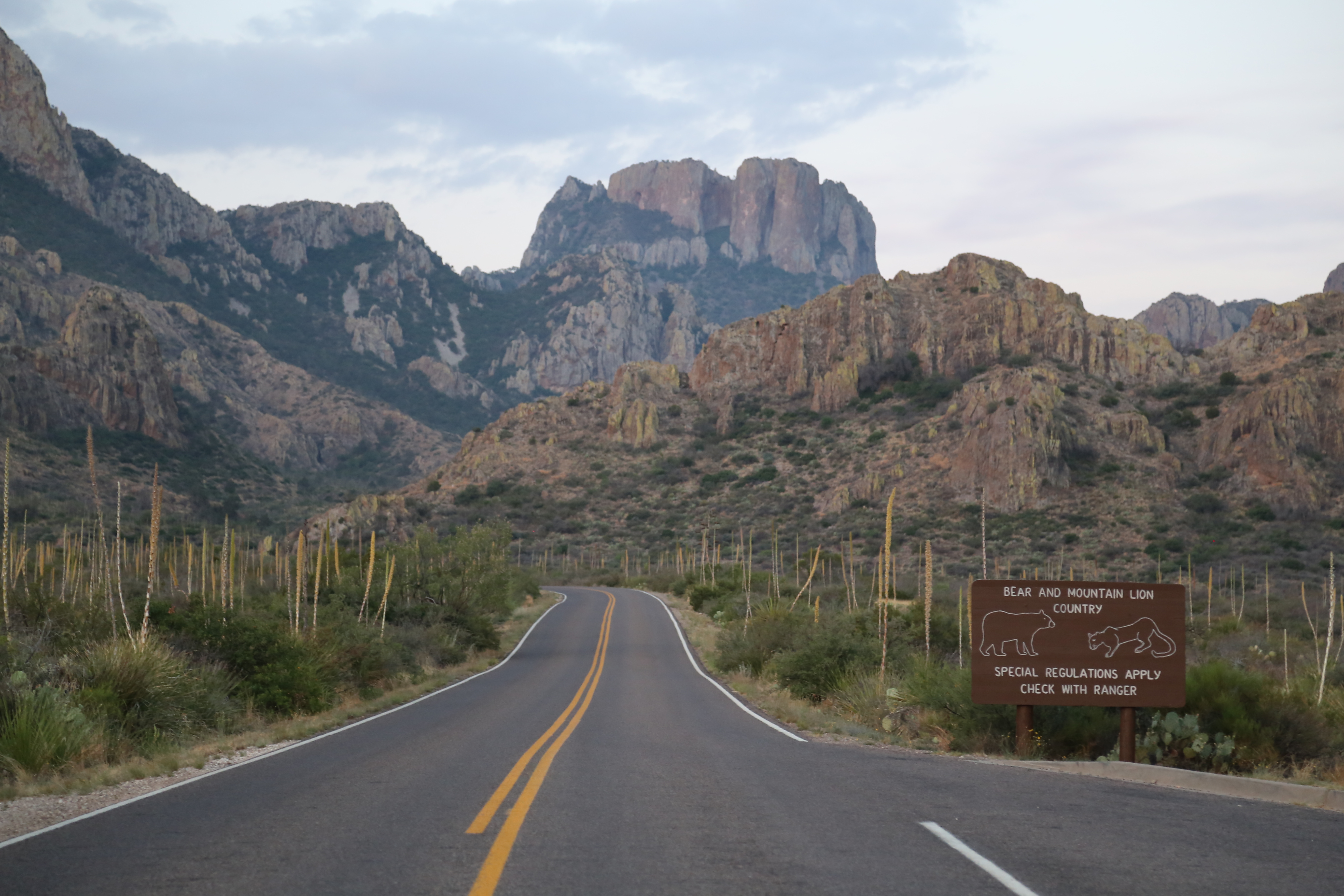
The road leading into the Chisos Mountains, Big Bend National Park, Texas.
Traveling between major areas within Big Bend is no walk in the park either! Driving times (distances) from Panther Junction to other major areas of the park are as follow:
Chisos Basin Visitor Center & Chisos Mountain Lodge (central): 30 min. (10 mi.)
Santa Elena Canyon via Ross Maxwell Scenic Drive (western): 1.25 hrs. (43 mi.)
Boquillas Canyon (eastern): 45 min. (23 mi.)
Be Prepared
Big Bend National Park is a serious, desert wilderness! This is not the place to cut your teeth when it comes to hiking. It is very remote, with harsh terrain and extreme weather. When we visited in late May of 2014 temperatures reached as high as 116 °F during the day and cooled so much at night that we needed a fleece jacket to stay warm. While these conditions are not surprising to anyone who has lived or traveled in the desert, to someone unfamiliar with this environment it is easy to come unprepared.
If you visit during the hotter season, like we did, I recommend getting up early and hiking during the cooler morning hours when temperatures are below 90 °F. Evening hiking works too, but there is less margin-for-error if you underestimate the time to complete your hike, that is, unless you want to hike after dark when the mountain lions and black bears are on the prowl. We did most of our hiking early then went back for a shower and an afternoon siesta…I now truly grasp and appreciate this concept. We found late afternoons were a great time to drive around in air conditioned comfort and scout the next day’s trailhead or find a perfect vista to enjoy the spectacular evening sunsets!

Sunset on the Window View Trail in the Chisos Basin.

We also experienced a couple of pretty severe late afternoon thunderstorms and were quite glad that we were not caught out on the trail during either of them! Thunderstorm forming over Casa Grande peak in the Chisos Mountains.
As you might expect in the desert, finding water is an unlikely prospect, so plan to carry all that you will need. Even if you happen to find water (like the Rio Grande River), it is most likely contaminated. Given the low humidity (10% or less) dehydration is a serious concern even in cooler weather, so carrying one gallon (4 liters) of water per person for a longer day hike is not unreasonable. Don’t forget the sunscreen, a hat, and proper clothing to protect you from the sun’s damaging UV rays, either.
A final note of caution that I cannot overemphasize, there is no cell service anywhere in the park and only spotty service on the main roads within 100 or more miles of the park, depending on which direction you travel. If you get lost while hiking or breakdown driving in or around the park there is no way to call for help unless you happen to have a satellite phone, which I suspect most people, myself included, do not. Traffic can also be very sparse, especially in the off-season, so your wait time for assistance from someone just passing by could be significant. Be aware, be prepared, and plan accordingly!
Where to Stay
One lesson we have learned from past trips to national parks is that staying in, or very near, the park has many benefits. Saving drive time to reach trailheads and being in close proximity to scenic spots for morning and evening photography, are two big ones. On this trip I did not even bother to research any lodging options outside the park due to the remote location.
We chose to stay at the Chisos Mountain Lodge and were very pleased with the accommodations, the staff, and the food in the restaurant. Wi-Fi service is available in the lodge, so you do have a means to communicate with family and friends. The park store in the Chisos Basin is well stocked with all the necessities and the prices seemed reasonable, though we brought everything we needed with us as we did not know what to expect.
There are also three developed frontcountry campgrounds in the park as well as backcountry camping options that will require a permit.
Hiking
The NPS website describes several day hikes of varying difficulty in three primary regions of the park, desert, mountain, and river. Our main hikes were in the mountain and river areas, though we did check out a couple of the old ranches (Sam Nail Ranch and Homer Wilson Ranch), the Hot Springs Historic Trail, and a number of the scenic overlooks in the desert area, though these did not qualify as hikes in my book as we were never more than a few hundred yards from our vehicle.

Trailhead behind the Chisos Mountain Lodge for the Window Trail.
Our first hike was the Window Trail. The trailhead is directly behind the Chisos Mountain Lodge where we stayed. Out the door and onto the trail, how much better can it get? This is a moderate 5.6 mile round trip hike that is all downhill on the way out and all uphill on the way back. This configuration did make it a little more challenging at the time of year we were there as the temperatures were over 90 °F by the time we finished the hike. This is a good hike to start with and the view at the end of the trail is amazing.

Typical trail view on the Window Trail (beware of prickly pear cactus when kneeling to take photos!)

There will be no doubt when you have reached the end of the Window Trail!

Trailhead for the Lost Mine Trail (the trail is only paved for a short distance).
Our second hike was the 4.8 mile round trip Lost Mine Trail. This is another moderate hike, but is has an opposite configuration to the Window Trail as it is uphill on the way out and downhill on the way back. The trailhead is less than two miles from the Chisos Mountain Lodge, so it was easy to get an early start on this trail, as well. The views along this trail, and at the top, make it well worth the time and effort.

View of the Chisos Basin, Casa Grande, and the Window along the Lost Mine Trail.

View looking south at the end of the Lost Mine Trail.
At the far ends of the park are two incredible canyons of the Rio Grande River, Santa Elena canyon on the west end and Boquillas Canyon on the east end. While the hikes into both canyons are short and relatively easy, about a 1.5 mile round trip for each, they are iconic of Big Bend, and a must do. These destinations require drive time if you are staying in the Chisos Basin, so plan accordingly and enjoy the rugged desert scenery along the way. One other note on these two trails is to make sure you listen for the call of the canyon wrens which were a common sound on both hikes.

Standing at the entrance to Santa Elena Canyon.
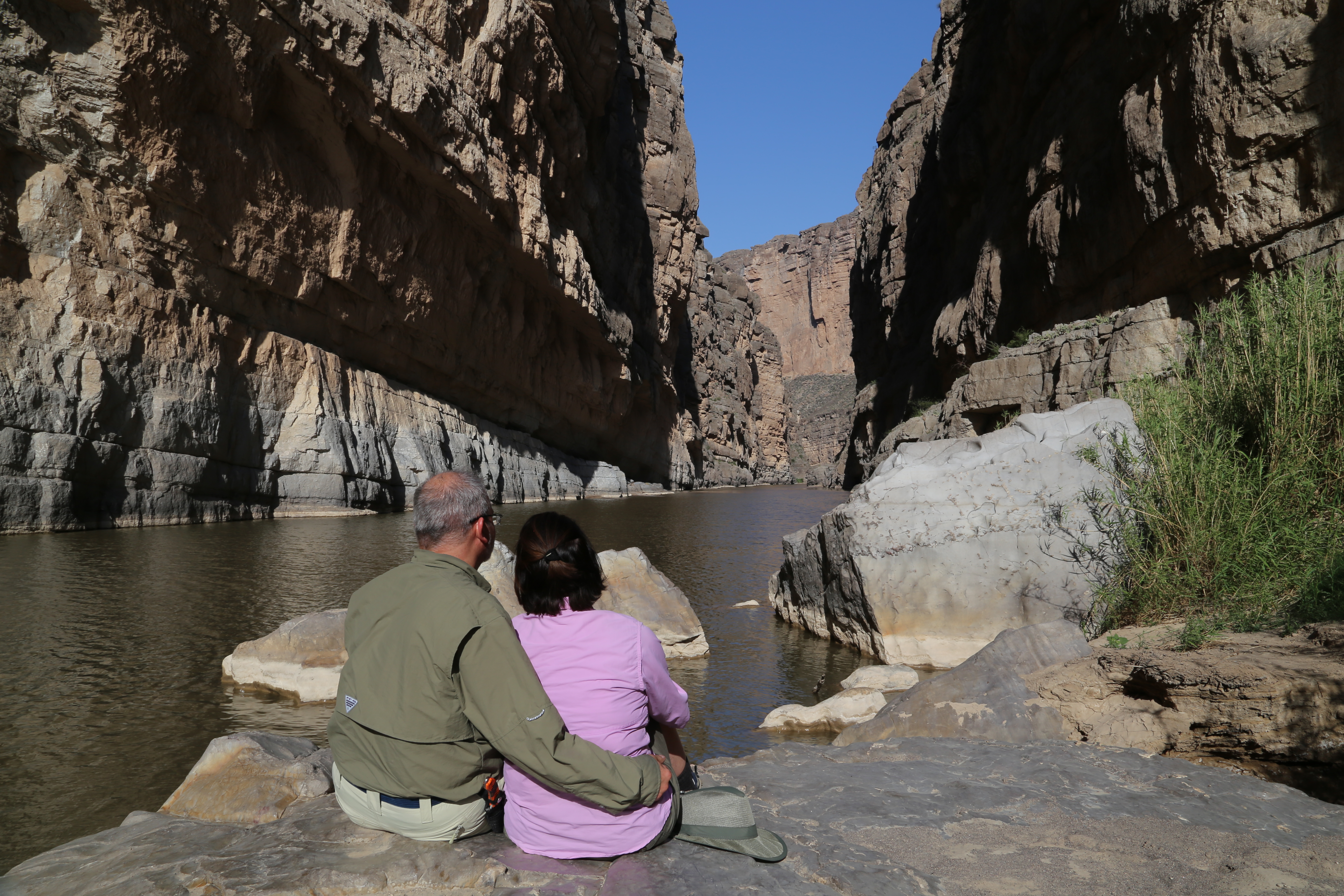
Enjoying the view inside of Santa Elena Canyon.
Do not be surprised in Boquillas Canyon if you are approached by locals from the village of Boquillas, Mexico who commonly wade across the Rio Grande River to sell souvenirs in this area. You can be fined for purchasing these trinkets as they have not been properly imported. There is a legal border crossing nearby, but you will need your passport if you want to visit Mexico to do any souvenir shopping.

The village of Boquillas, Mexico in the distance and some of the local wares for sale on the rocks in the scenic overlook parking area near the Boquillas Canyon trailhead.

Boquillas Canyon.
Like any national park we have visited, there is a massive amount of information on the NPS website for Big Bend, and I recommend taking the time to do some research before you go. Also, even though it is one of the least visited parks in the park system, be sure to make reservations well in advance so you are not disappointed when you arrive, especially if you plan to travel there during the peak season between November and April.
One last thing that you cannot miss at Big Bend is to take advantage of the dark nights far from civilization to get out and see the stars. As the song says, “The stars at night are big and bright. Deep in the heart of Texas.”

Stars over the Chisos Mountain Lodge with Casa Grande silhouetted on the skyline.
© Todd D. Nystrom and Todd the Hiker, 2015.